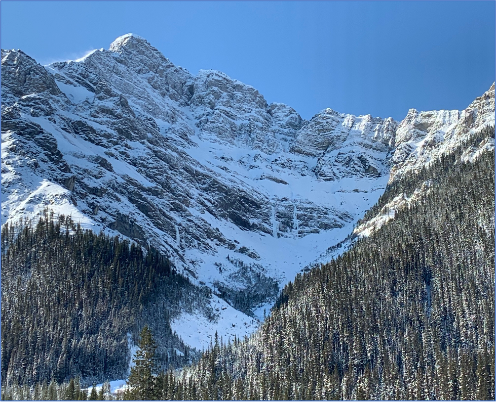
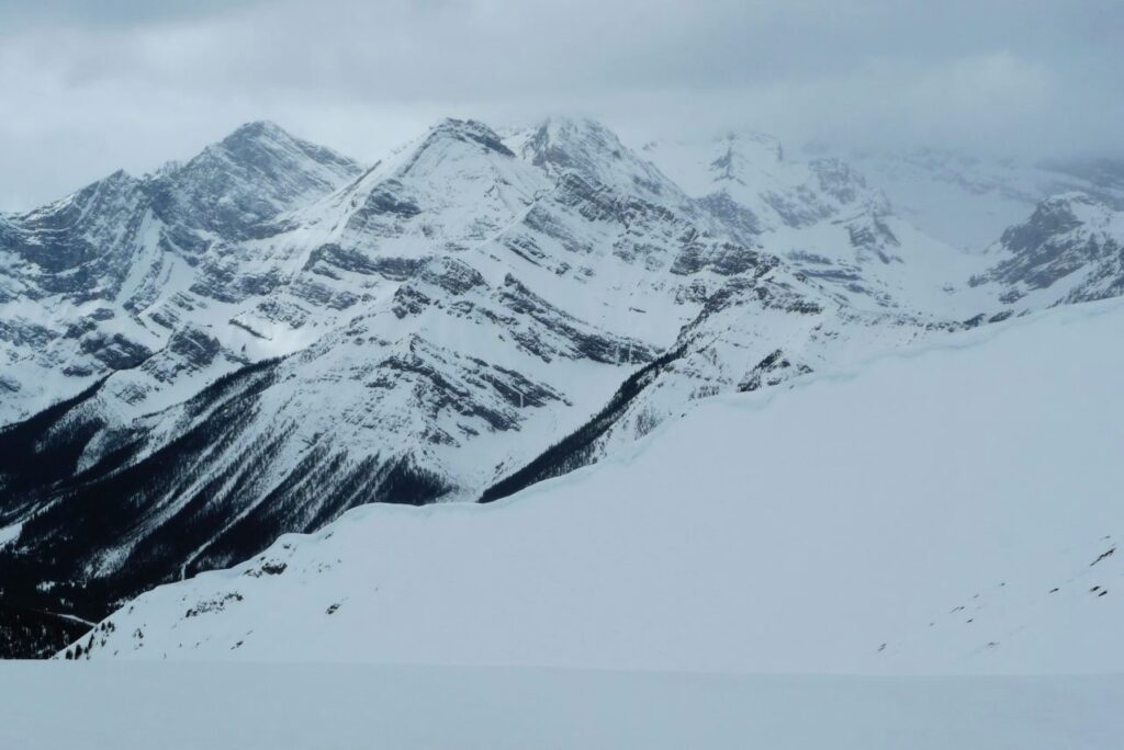
Ranger Creek Ice Climbs
Lone Ranger, Chalice and the Blade/Spoon R and D
Survey Results:
Ranger Creek is a popular venue for early season ice climbs. It has serious avalanche terrain above and below the climbs. Climbers frequent these routes primarily between October and December, when the snowpack is minimum.
Avalanche size and frequency has been summarized for this early season timeframe and not beyond that, when avalanche activity is likely much higher and greater.
Popularity
54 people completed the survey
50% climbed 1-5 times
33% climbed 6–10 times
17% climbed over 10 times
Avalanche Frequency:
57% of respondents saw avalanche debris on approach
39% witnessed or experienced avalanches
Time of Year and Day:
94% of respondents climbed in October and November
73% climbed from 6 a.m. to 12 p.m.
Avalanche Start Zones:
57% started above climb
27% well above climb
7% below climb
Run-out debris:
32% ran over the climb to base
32% ran 50–100 m past climb
28% ran over 100 metres past climb
Debris has been seen as far as the choke point of the valley. Debris amounts and distance has indicated large (Size 3) avalanches.
Reported Avalanches and Incidents:
These avalanches were reported in the survey:
- Size 2 avalanche over R and D while climbing. Belayer endured avalanche but wasn’t swept or buried due to rope connecting them. Bruises from rocks and debris.
- Below Chalice and the Blade, hit from above and swept down the slope.
- Lone Ranger one almost full burial and two partial burials
- Rescued people on route and responded to an avalanche involving six people
- Climber triggered on approach to R and D directly below climb. Lost gear, experienced minor injuries.
- While on Chalice, witnessed two Size 2 avalanches to our right.
- Smaller multiple avalanches around R and D
- Size 1 over R and D
- On approach kicked off small 0.5
- Buried to knees at base of Lone Ranger
- Many sluffing, and spin drift
- Witnessed Size 3 from the road.
Contributing Factors:
- Winds: gullies above climbs affected by lee deposits and high winds, makes walk-offs less desirable.
- New snow amounts: these are often greater than recorded at the nearby Mud Lake and Burstall Pass weather stations
- Solar effect or warming: one person noted inversions for the area as something to be aware of.
Human factors:
- Can be a very busy area in early season with people waiting in line for climbs and climbing at all hours throughout the day.
- Most climbers are very aware of avalanche hazard, approach the area with caution, and respect and limit exposure once snow is at threshold for avalanches.
- Most climbers consider themselves to be very conservative in their approach to climbing in the area.
- With this said, many have also experienced or witnessed avalanches in the area.
Great content! Keep up the good work!